Sign up to receive
News & Updates >
Get the latest news and be the first to learn about new deals and events
 |
 |
 |
 |
 |
 |
 |
 |
 |
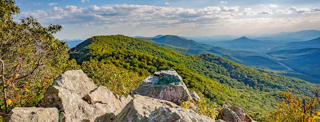
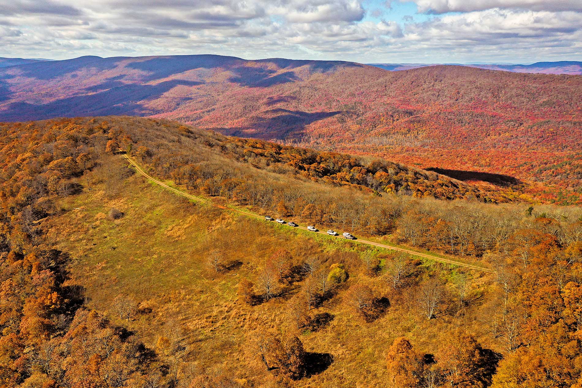
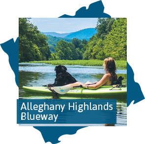
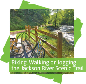
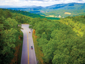
There are many ways to see the beauty of the Alleghany Highlands. Some visitors choose to explore on foot, bicycle or horseback on one of our trails. Others choose the unique perspective of paddling in a canoe or kayak. One of the all-time favorite ways is to wander the beautiful back roads on a scenic drive.
Begin: W. Main St. in downtown Covington
• Turn left on N. Monroe Ave. followed by a quick right on W. Riverside St.
• Turn left on N. Alleghany Ave (north on Route 220)
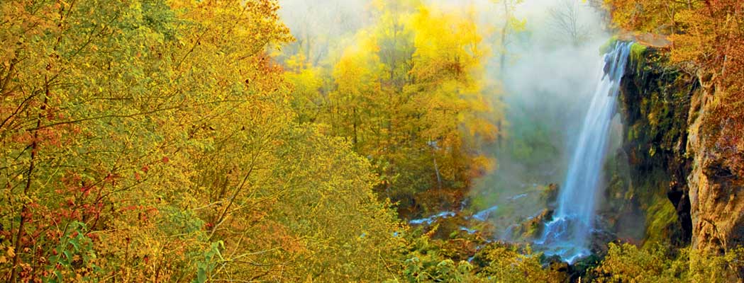
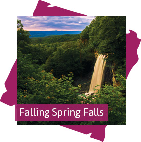
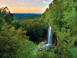
*Pass Intervale Trailhead of Jackson River Scenic Trail, proceed up Warm Springs Mountain, pass Falling Spring Falls
• Turn left on Falls Rd (Route 620) just past Falling Spring Falls
• Turn right on Jackson River Road (Route 687)
• Turn left on Natural Well Road (Route 638) just before Natural Well Trailhead
• Bear right on E. Morris Hill Rd. (Route 666)
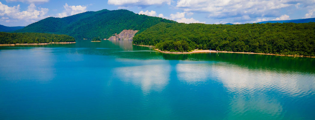
• Turn right on Cole’s Mountain Rd. (Route 605) towards Lake Moomaw
*Pass Morris Hill Campground
• Bear left on Cole’s Point Drive
*Pass Cole’s Point Beach at Lake Moomaw
• Return on Coles Point Drive to Coles Mountain Rd (Route 605)
• Turn left on E. Morris Hill Rd (Route 666)
• Bear right to remain on E. Morris Hill Rd.
• Turn right on Indian Draft Rd. (Route 641); Continue on Indian Draft Rd as it becomes Route 600
• Turn left on Midland Trail after passing under I-64
• Turn left on Route 159 at the Marathon Gas Station
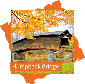
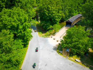
*Pass Humpback Bridge
Return to downtown Covington
Begin: W. Main St. in downtown Covington
• Turn Left on N. Monroe Ave. (Route 60), cross the Jackson River
• Continue straight as N. Monroe Ave becomes Midland Trail
*Pass Humpback Bridge
• Continue straight on Route 159 past the Marathon Gas Station as road becomes Dunlap Creek Rd.
*Pass Escatawba Farms Fly Fishing
• Continue straight at Crows Split in Road onto Kanawha Trail (Route 311)
*Briefly pass into West Virginia
• Bear left at the fork to remain on Route 311 and proceed up Peter’s Mountain
*Briefly enter Craig County
• Turn hard left on Potts Creek Road (Route 18) just outside of Paint Bank, VA
*Pass by Eastern National Children’s Forest
• Route 18 becomes S. Carpenter Drive when entering City of Covington
• Turn left on W. Edgemont Dr.
*Pass by Jackson River Sports Complex
• W. Edgemont veers right and becomes S. Rayon Drive as it crosses the Jackson River
• Bear right on W. Jackson St.
• W. Jackson becomes S. Durant Rd. and then becomes S. Craig Ave.
• Bear right as Craig Ave becomes W. Locust St.
• Turn left on N. Marion
• Turn right onto W. Main St.
Return to downtown Covington
Begin: Church Street in Clifton Forge in front of Historic Masonic Amphitheater and Clifton Forge School of the Arts
• Head west on Church St., followed by a left turn on Rose Ave.
• Turn Left on Tremont Street, followed by a quick right on Sioux Street
• Continue straight under I-64 on Sulfur Spring Road (Route 606)
*Proceed up Hot Springs Mountain, passing briefly into Bath County
• Turn left on Hot Springs Rd (Route 220 South)
*Pass Falling Spring Falls, proceed over Warm Springs Mountain
• Turn right on E. Riverside Street towards downtown Covington, pass WestRock Mill
• Turn right on Monroe Ave (Route 60 West)
*Pass Humpback Bridge
• Continue straight on Dunlap Creek Rd. (Route 159)
• Straight on Kanawha Trail (Route 311 South); cross briefly into West Virginia
• Turn hard left on Potts Creek Road (Route 18) just outside of Paint Bank, VA
*Pass Eastern National Children’s Forest
• Turn right on Blue Spring Run Rd (Route 616)
• Veer left as 616 becomes Rich Patch Road
• Turn left to remain on Rich Patch Road (Route 16) where it meets Roaring Run Rd.
• Turn right on Selma Low Moor Road (Route 696)
• Merge briefly onto Richmond St; then Left on Selma Low Moor Road (Route 696)
• Turn right on W. Ridgeway St (US 60 Business) through downtown Clifton Forge
• Turn right on Main Street and a quick left on Jefferson Ave.
Return to Church St. in Clifton Forge
 Main Street in Covington Main Street in CovingtonLearn More > |
 Blue Spring Run Farm Blue Spring Run FarmLearn More > |
 Covington Welcome Center Covington Welcome CenterLearn More > |
 Humpback Bridge Humpback BridgeLearn More > |
 48 Hours in the Alleghany Highlands 48 Hours in the Alleghany HighlandsDownload PDF (320kb) |
Download PDF (316kb) |
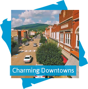
 Downtowns of Alleghany Highlands Downtowns of Alleghany HighlandsDownload PDF (746kb) |
![]()
Sign up to receive
News & Updates >
Get the latest news and be the first to learn about new deals and events
May 23, 2026
Semiquincentennial (250th) Portrait of an Eagle
May 23, 2026
The Shenandoah Ballet presents: The Little Mermaid
May 24, 2026
The Shenandoah Ballet presents: The Little Mermaid May 24th